Product Description
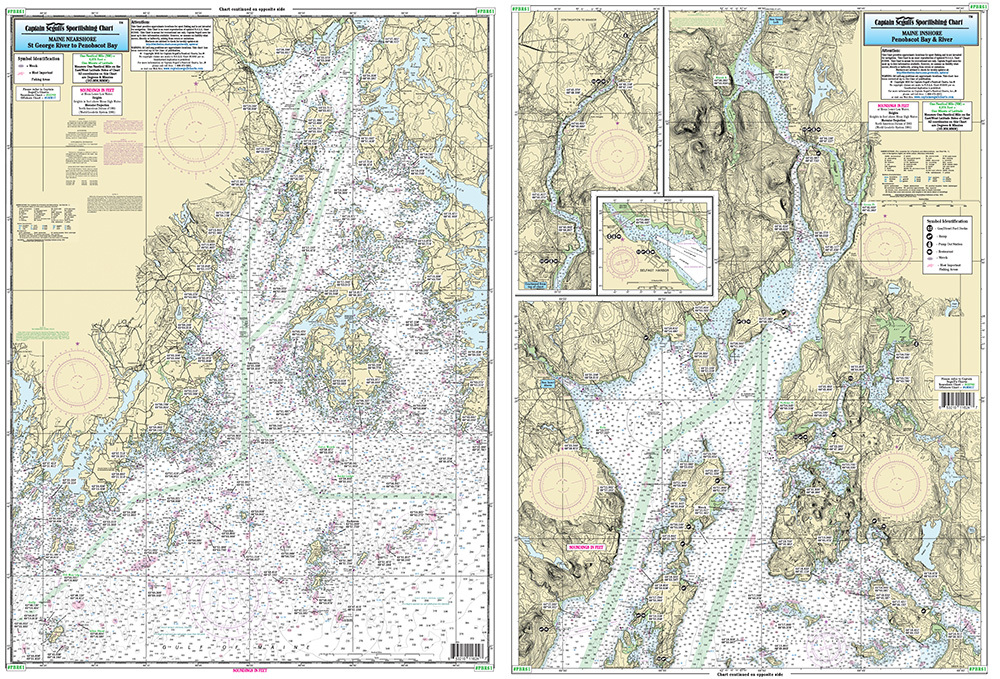
Nearshore chart 20-30 miles off coast/Inshore Chart 1-2 miles off coast, double sided, laminated, 19 x 26 inches, Maine
Side A, Nearshore Chart St George River to Penobscot Bay. Side B: Inshore Chart of Upper Penobscot Bay up the River to Bangor, with an inset of Belfast Harbor. Please refer to our inshore, nearshore, offshore, bathymetric and small boat/kayak charts in this area. All charts include GPS coordinates, wrecks, reefs, shoals, fishing areas, amenities and restrictions. Uses NOAA Charts 13302 & 13309


