Product Description
Captain Segull Chart - Hudson River- NY
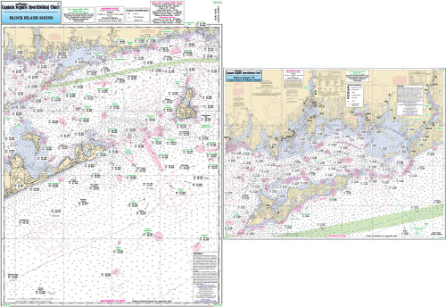
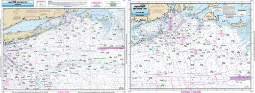
An inshore chart. Chart is 19 x 26 inches, double sided, and laminated. Hudson River
An inshore chart detailing the River. Detail of Hudson River from New York City to Troy, NY. All charts include GPS coordinates, wrecks, reefs, shoals, fishing areas, amenities.


