Product Description
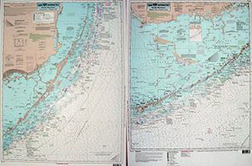
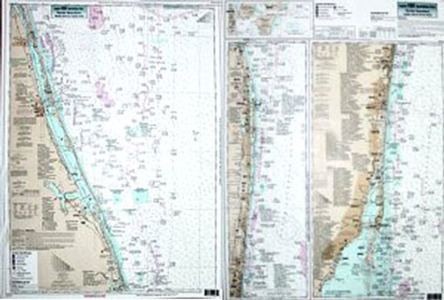
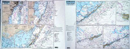
Captain Segull Chart - A nearshore chart 20 to 30 miles- side A- from Soldier Key to Islamorada. Side B- Islamorada to Knight Key. Coming soon are inshore charts of the Keys. All charts include wrecks- reefs- shoals- fishing areas- amenities and restrictions.


