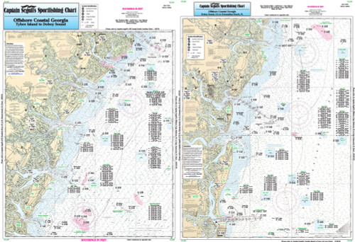
![Nearshore 20 - 30 miles off. Chart is 19 x 26 inches, double sided, and laminated. Pamlico Sound, NC
Side A: Western portion of Pamlico Sound to Neuse River and Pungo River, with continuation of Bay River. Side B: Eastern portion of Pamlico Sound, with Cape Hatteras north to Rodanthe, NC. All charts include wrecks, reefs, shoals, fishing areas, amenities and restrictions. Please refer to our nearshore, offshore, ICW booklet, and small boat/kayak charts in this area. Nearshore 20 - 30 miles off. Chart is 19 x 26 inches, double sided, and laminated. Pamlico Sound, NC
Side A: Western portion of Pamlico Sound to Neuse River and Pungo River, with continuation of Bay River. Side B: Eastern portion of Pamlico Sound, with Cape Hatteras north to Rodanthe, NC. All charts include wrecks, reefs, shoals, fishing areas, amenities and restrictions. Please refer to our nearshore, offshore, ICW booklet, and small boat/kayak charts in this area.](https://cdn11.bigcommerce.com/s-pr9amv4/images/stencil/200x200/products/36317/78954/PS25z__54658.1523613468.jpg?c=2)
Captain Segull Chart - Off Coastal of NC- Albemarle Sound
Nearshore 20 - 30 miles off. Chart is 19 x 26 inches double sided and laminated Albemarle, NC
Side A: Currituck Beach Light to Rodanthe, NC, Wimble Shoals (Oregon Inlet). Side B: Albemarle Sound, west to Chowan River, with an extension of the river to Bartonsville. All charts include wrecks, reefs, shoals, fishing areas, amenities and restrictions. Please refer to our nearshore, inshore, offshore, and ICW booklets in this area.