Product Description
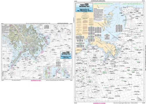
Captain Segull Chart - A nearshore chart 20 to 30 mile off the shore. From Venice to New Orleans. All charts include wrecks- reefs- shoals- fishing areas- amenities and restrictions.
Nearshore 20 - 30 miles off. Chart is 19 x 26 inches double sided and laminated Mississippi and Louisiana coastline
Mississippi River from Venice to New Orleans. Detail of the Chandeleur Islands. All charts include wrecks, reefs, shoals, rigs, fishing areas, amenities and restrictions. Also refer to our nearshore, offshore, and small boat/kayak charts in this area.


