Product Description
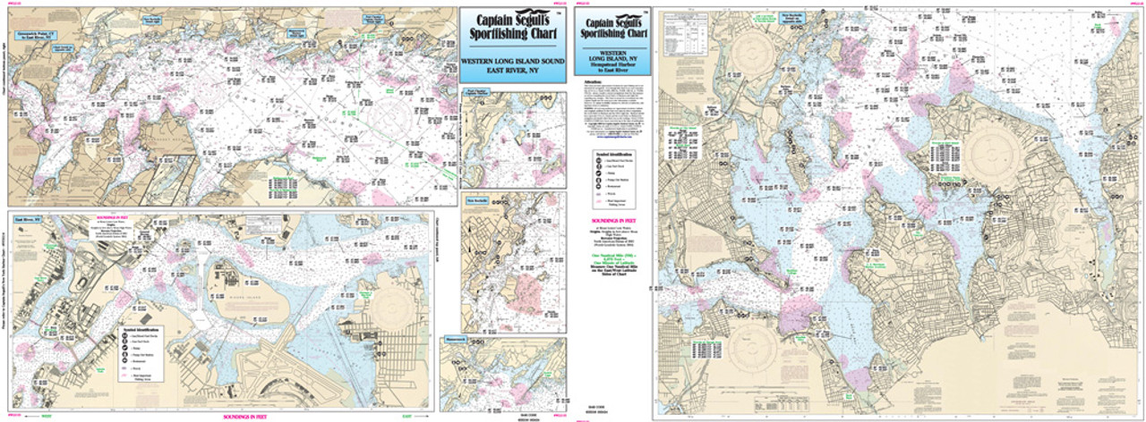
Captain Segull Chart - Western Long Island Sound & East River- NY
An inshore chart 1-2 miles off the coast detailing the bays. Chart is 19 x 26 inches, double sided, and laminated. New York.
Detail of coast from Greenwich point, CT west to Roosevelt Is. All charts include GPS coordinates, wrecks, reefs, shoals, fishing areas, amenities and restrictions. Also refer to our nearshore and inshore charts in this area.


