![Nearshore 20 - 30 miles off. Chart is 19 x 26 inches double sided and laminated Florida coastline
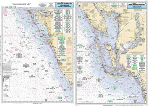
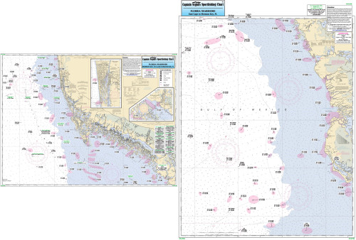
Side A: from Anna Maria Island to Tarpon Springs, with Tampa Bay and St. Joseph Sound. Side B: from Ancolte Keys to Crystal River. All charts include wrecks, reefs, shoals, rigs, fishing areas, amenities and restrictions. Please refer to our inshore, nearshore, offshore, and small boat/kayak charts in this area. Nearshore 20 - 30 miles off. Chart is 19 x 26 inches double sided and laminated Florida coastline

Side A: from Anna Maria Island to Tarpon Springs, with Tampa Bay and St. Joseph Sound. Side B: from Ancolte Keys to Crystal River. All charts include wrecks, reefs, shoals, rigs, fishing areas, amenities and restrictions. Please refer to our inshore, nearshore, offshore, and small boat/kayak charts in this area.](https://cdn11.bigcommerce.com/s-pr9amv4/images/stencil/200x200/products/36310/78947/TAM40z__61395.1523601674.jpg?c=2)
Captain Segull Chart - Nearshore Naples to Tampa- FL(Charlotte Harbor)
Nearshore 20 - 30 miles off. Chart is 19 x 26 inches double sided and laminated Florida coastline
Side A: from Clam Pass to Lemon Bay, including Port Charlotte Harbor and an inset of the Peace River. Side B: Lemon Bay to Passage Key Inlet. All charts include wrecks, reefs, rigs shoals, fishing areas, amenities and restrictions. Please refer to our nearshore, place mat, offshore and small boat/kayak charts in this area.