Product Description
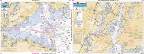
Captain Segull Chart - Jamaica Bay & Hempstead Bay- NY
An inshore chart 1-2 miles off the coast detailing the bays Chart is 19 x 26 inches, double sided, and laminated. New York Coastline
Side A: Hempstead Bay to Jones Inlet to East Rockaway Inlet; Side B: Jamaica Bay & Rockaway Inlet to Sheepshead Bay. All charts include GPS coordinates, wrecks, reefs, shoals, fishing areas, amenities and restrictions. Also refer to our nearshore, bathymetric, and offshore charts.


