Product Description
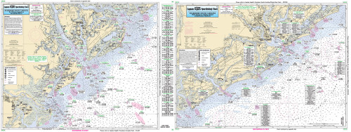
Captain Segull Chart - Charleston Harbor- SC
An inshore chart 1-2 miles off the coast detailing the bay. Chart is 19 x 26 inches double sided and laminated. Charleston Harbor, SC
An inshore chart highly detailed of Charleston Harbor and approaches. Side A: entrance and approaches of Charleston Harbor from Folly Island to Isle of Palms, Side B: Harbor with Ashley, Cooper and Wando Rivers. All charts include wrecks, reefs, shoals, fishing areas, amenities and restrictions. Also refer to SC29, CHCC23, CB127 & BS128.


