Product Description
Captain Segull Chart - Cape Ann To Jeffrey's Ledge Map
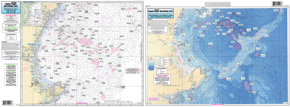
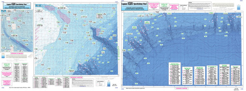
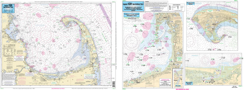
Bathymetric - color coded by depth - double sided, laminated, 19 x 26 inches, North Shore, Massachusetts
A detailed chart color coded by depth on one side and a regular NOAA chart on the other side. GPS coordinates on all fishing spots. Perfect for anglers looking to explore Jeffreys Ledge fishing spots with precision and accuracy. This offshore fishing chart is essential for anyone navigating the waters from Cape Ann to Jeffreys Ledge.


