Sale

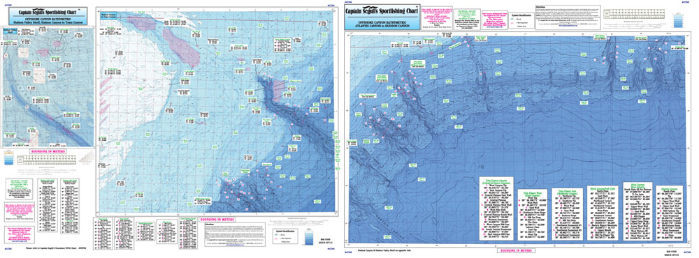
Captain Segull Chart - Atlantis to Tom's Canyon
Bathymetric - color contoured by depth - Double sided, laminated, 19 x 26 inches, Offshore, MA, RI, CT, NY, NJ area
New canyons discovered and covered on this bathymetric chart. Detail of Hudson Canyon and Toms Canyon and Hudson Shelf on one side and other side is from Atlantis Canyon to Hudson Canyon. You should use this chart in conjunction with either the OFGPS18 or the OF10.
