

Product Description
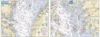
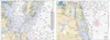
Chesapeake Bay Three Pack Chart Kit Includes the three charts that cover the entire main stem of the Chesapeake Bay.
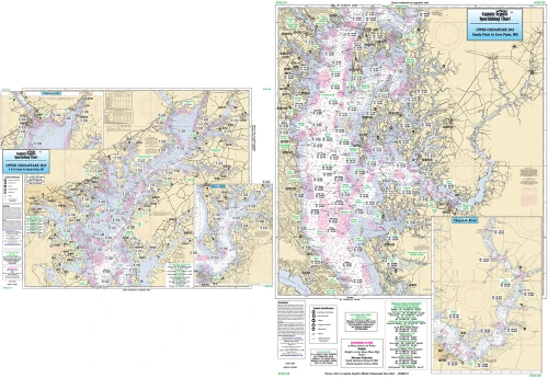
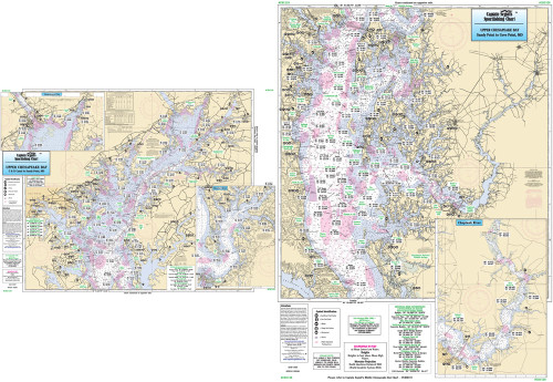
Captain Segull Chart - Upper Chesapeake Bay CBU120
An inshore chart 1-2 miles off the coast, detailing the bay. Chart is 19 x 26 inches, double sided, and laminated. Upper Chesapeake Bay
Side A: extends from the C & D Canal to Sandy Point, MD, with an inset of the Susquehanna River Flats and Northeast River. Side B: from Sandy Point, MD to Cove Point. MD. C & D Canal is on the DEL117 chart. All charts include GPS coordinates, wrecks, reefs, shoals, fishing areas, amenities and restrictions. Also refer to other Chesapeake and Delaware Bay charts.

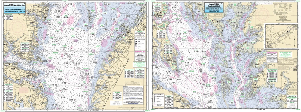
Captain Segull Chart - Middle Chesapeake Bay CBM119
An inshore chart 1-2 miles off the coast detailing the bay. Chart is 19 x 26 inches, double sided, and laminated. Middle Chesapeake Bay
Side A: covers from Cove Point, MD to Smith Point, VA, with an continuation of Pocomoke River. Side B: from Smith Point to Wolf Trap, VA. All charts include GPS coordinates, wrecks, reefs, shoals, fishing areas, amenities and restrictions. Please refer to the upper and lower bay charts and our small boat/kayak charts.

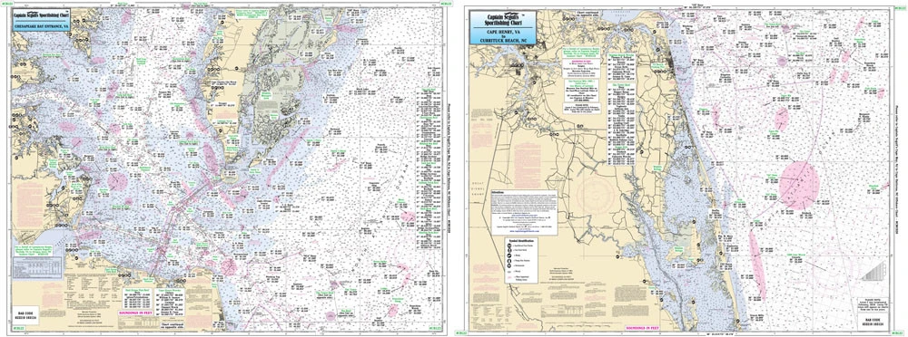
Captain Segull Chart - Captain Segull Chart - Lower Chesapeake Bay & Inshore to Upper North Carolina
Nearshore 20 - 30 miles off. Chart is 19 x 26 inches, double sided, and laminated. Virginia and North Carolina coastline.
Side A: the Chesapeake Bay entrance in Virginia as far north to Ware Neck, Old Town Neck and Hog Island Bay. Side B: from Cape Henry, VA to Currituck Beach Light, NC, with an inset of Lynnhaven Bay and Roads. All charts include wrecks, reefs, shoals, fishing areas, amenities and restrictions. Please refer to our other Chesapeake Bay, nearshore, offshore, and small boat/kayak charts in this area.